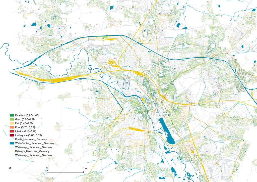
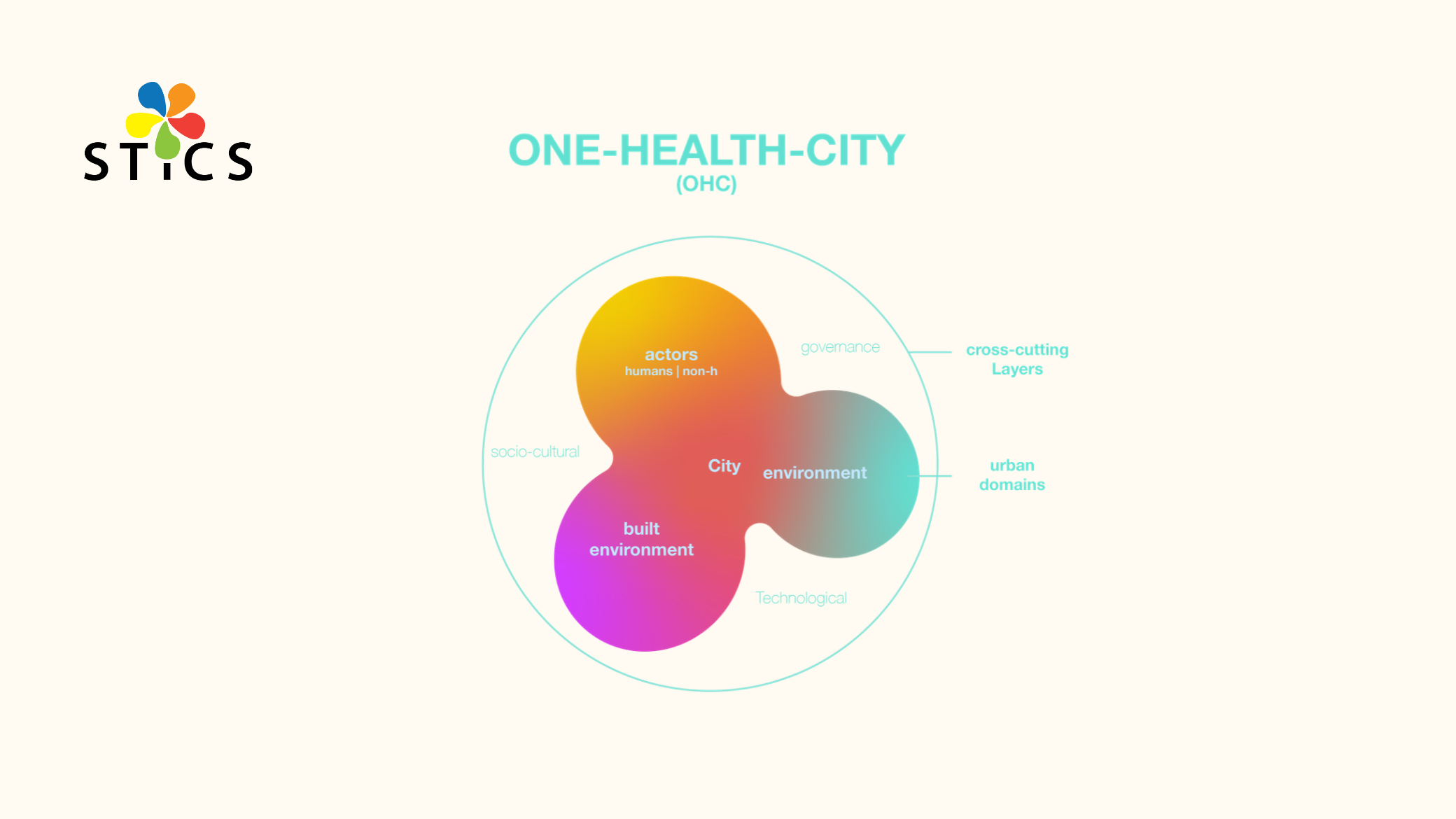
What makes a city healthy? The project addresses this question through a framework for understanding and evaluating cities from a non-anthropocentric perspective, covering the environment together with its human and non-human actors. The framework is operationalised as a spatial index that identifies where environmental burdens accumulate and which actors bear them.
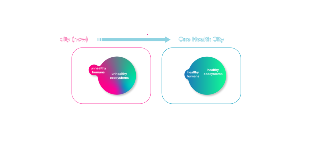
Cities distribute environmental conditions unevenly. Air pollution, noise, and heat concentrate in certain districts, while green space, tree cover, and essential services are often located elsewhere, and the same neighbourhoods frequently carry several burdens at once. These conditions affect residents, and they affect the birds, insects, and plant communities that depend on urban habitats. In planning practice, they are usually measured one at a time, in separate assessments.
The One Health concept holds that human health, animal health, and environmental health are interdependent. It is applied mainly in disease surveillance and veterinary policy, and has not been translated into an instrument that planners can use to make spatial decisions.
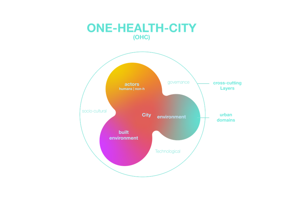
Within the STICS project, we developed the One Health City Framework (OHCF) to close that gap. The framework was built through an analysis of literature across urbanism, ecology, public health, landscape architecture, conservation biology, and Indigenous knowledge. It describes the city through three domains — the actors who inhabit it, the environment, and the built environment — and three cross-cutting layers that shape how these interact: governance, technology, and socio-cultural conditions. Human health, ecological function, and environmental exposure sit within one structure that does not treat human interests as the only reference point.
The One Health City Index (OHCI) turns this framework into a measurable geospatial model. The Index operates at three scales — the city, the neighbourhood, and the individual parcel — so that broad territorial patterns can be linked to conditions on a specific street, and it relies on openly available data, which allows application in cities with limited data infrastructure.
The result is a map of where environmental burdens accumulate, which populations carry them, and where a single intervention would produce benefits across several domains at once. A street tree planting scheme, for example, can reduce heat exposure, improve habitat connectivity, and increase walkability, and the Index makes those combined effects visible before a decision is taken. The approach supports Sustainable Development Goals 3 (health and well-being), 11 (sustainable cities), 13 (climate action), and 15 (life on land).